| Map of Lyttelton Harbour and Port Hills-Akaroa, Summit Road |
map |
| Hone Taare Tikao, the Narrator of the Legends |
Frontispiece |
| The Seven Sleepers |
5 |
| Te Tihi o Kahukura, Castle Rock |
9 |
| Te Moenga o Wheke, Giant Tor |
10 |
| Witch Hill and the Giant’s Causeway |
13 |
| Orongomai, the Place of the Voices |
15 |
| View from Cass Peak |
17 |
| Whaka-raupo, Lyttelton Harbour and Quail Island |
21 |
| Te Heru o Kahukura, Sugarloaf |
25 |
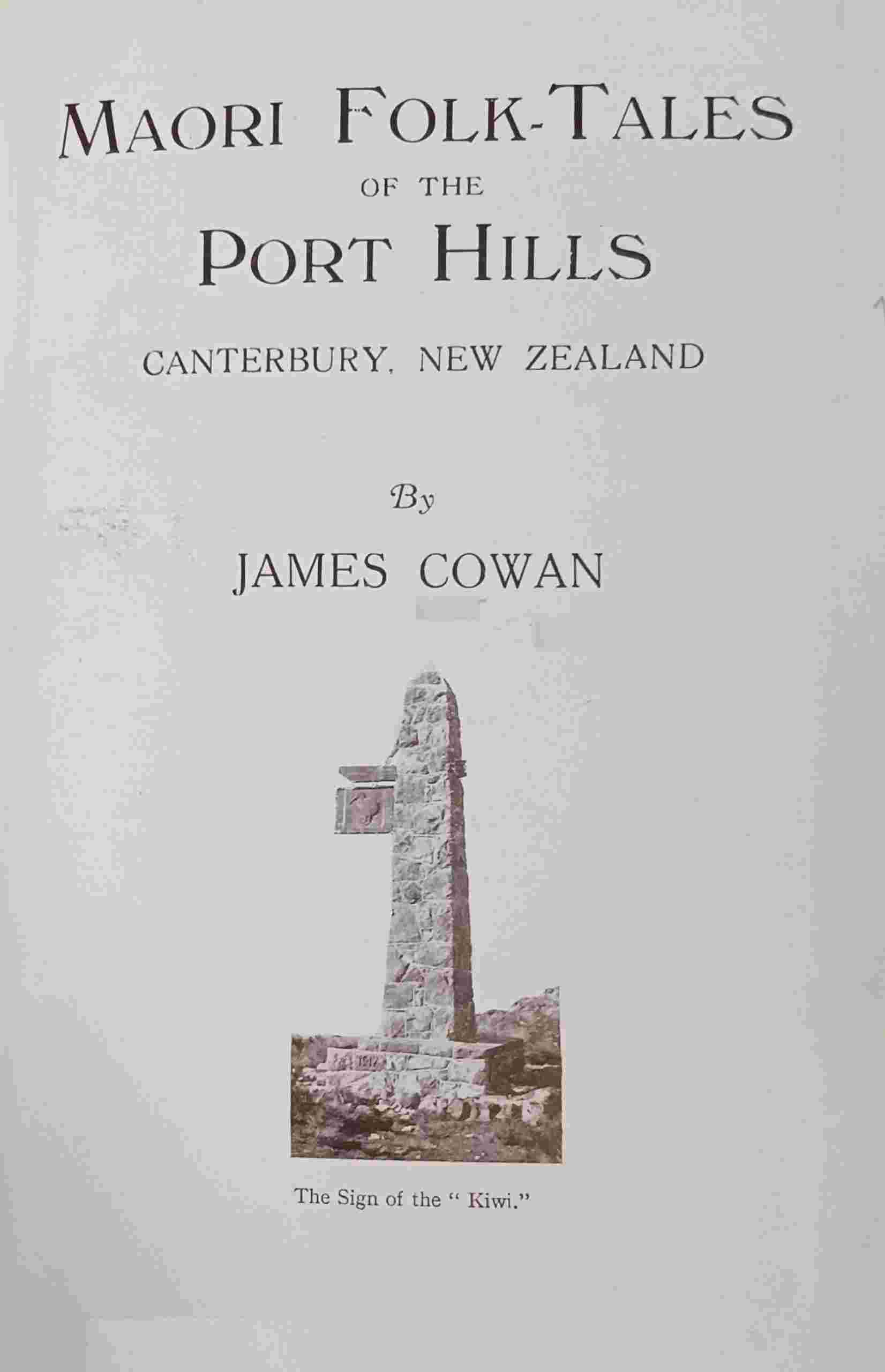
| “The Sign of the Kiwi” Rest House and Marley’s Hill |
27 |
| The Port Hills south-west of Dyer’s Pass |
31 |
| The Old Maori Church at Rapaki |
33 |
| Whaka-raupo, Lyttelton Harbour from Kennedy’s Bush |
35 |
| Old Church Bell at Rapaki |
40 |
| Rapaki Village and Tamatea’s Breast |
43 |
| In a Rapaki Garden |
47 |
| Witch Hill |
53 |
| The Summit Road, overlooking Governor’s Bay |
55 |
| Te Poho-o-Tamatea, or Tamatea’s Breast |
59 |
| Rhodes’s Monument, Home of the Fairies |
63 |
| Kennedy’s Bush, Cockayne’s Cairn, and Cass Peak |
67 |
| Through the Devil’s Staircase |
70 |
| Hinekura |
73 |