LIST OF ILLUSTRATIONS
| ST. JOHN’S FROM THE OLD GOLF LINKS | Frontispiece | |
| FACING PAGE | ||
| AN ESQUIMAUX FAMILY | 9 | |
| THE WATER “FLUME” AT PETTY HARBOUR, WHERE ELECTRIC POWER FOR ST. JOHN’S IS GENERATED | 16 | |
| DRYING FISH ON THE “FISH FLAKES” | 25 | |
| LORD NORTHCLIFFE’S PAPER MILLS AT GRAND FALLS | 32 | |
| MARBLE MOUNTAIN, HUMBER RIVER | 41 | |
| STEADYBROOK FALLS | 48 | |
| SEALS ON “PACK-ICE” | 57 | |
| THE NEWFOUNDLAND DOG AS A BEAST OF BURDEN | 64 | |
| A HUNTER’S CAMP | 73 | |
| UNLOADING THE HIDE AND FAT OF SEALS AT ST. JOHN’S | 80 | |
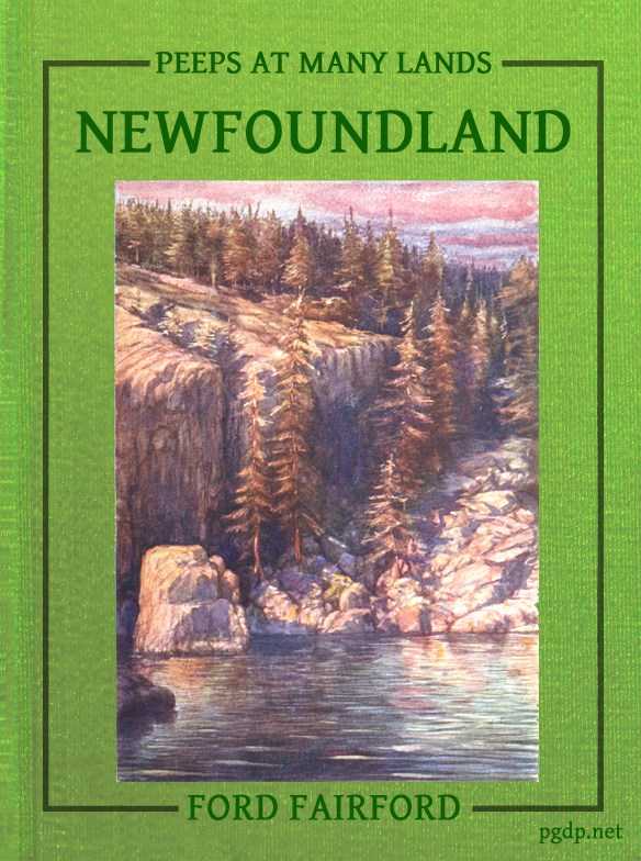
| INDIAN BURYING-PLACE NEAR EXPLOITS | On the cover | |
Sketch-Map of Newfoundland on p. viii.
SKETCH-MAP OF NEWFOUNDLAND.