After Franklin had been at home about two years, he began to feel restless and to long for action. About this time the English government decided to send Parry, for the third time, in search of the northwest sea passage.
Franklin advised that another land party be sent at the same time to the mouth of the Mackenzie. There, he thought, the party should divide, one branch of it to explore the coast of North America east to the Coppermine river, the other to go westward to Icy cape. Then the entire northern coast of North America would have been covered, and the land party might meet and assist Parry. The government decided to adopt Franklin’s plan, and when he begged to be allowed to command this expedition, granted his request, and more than this, permitted him to make all arrangements for the expedition. He first ordered three boats to be built which should be suitable for travel on both rivers and lakes, as well as on the Arctic ocean. They must combine light weight with great strength. In 1824 Franklin sent these boats, filled with stores and provisions, to Great Bear lake in charge of the Hudson Bay Company; and on February 16, 1825, he and his officers sailed.
They traveled through the United States and Canada to Great Bear lake, where they halted for a few days for the purpose of bargaining with the Indians for supplies of food during the winter. Then the party embarked in canoes and steered for the Mackenzie river.
As the Mackenzie is broad and smooth and without rapids, they quickly reached Fort Norman, the most northern Hudson bay post on the river. It was now early in August, and only a few weeks were left in which to build winter quarters and to lay in a stock of provisions. A place on Great Bear lake was chosen for their village, and Lieutenant Back was given charge of the work of preparation.
Meanwhile Franklin pushed on to the mouth of the Mackenzie. He wished to examine the coast so that he might know just what was needed for travel along that route when spring should come. He found it was an easy journey in his new boat, and when he came to the sea he saw to his joy that it was free from ice and full of seals and whales. When he had made himself acquainted with the character of the coast around the mouth of the river, he returned to the camp on Great Bear lake.
He found that during his absence his companions had named the post Fort Franklin in his honor, and very comfortable arrangements had been made for the winter. Three houses were ready, one for the officers, one for the seamen and Indians, and one for supplies. There were now fifty persons in the party: five officers, nineteen seamen, nine Canadians, two Eskimos, and the rest Indians, including men, women, and children. They were a mixed company, truly, but they passed the season pleasantly together. The officers worked hard collecting important facts about the water, ice, animals, mosses, weather, and sky. They also took charge of a school, which Franklin insisted upon maintaining for the Indians and the Eskimos. Attendance at this school was compulsory, and you may be sure all the pupils preferred hunting and fishing. The seamen turned carpenters and built boats.
No one was sorry when spring came and the journey could be continued. On June 24, 1826, the company divided into two parties and started down the Mackenzie river. At the mouth of the river they separated; one party under command of Franklin proceeded to the west, the other party under Dr. Richardson, to the east. Each had provisions enough to last from eighty to one hundred days.
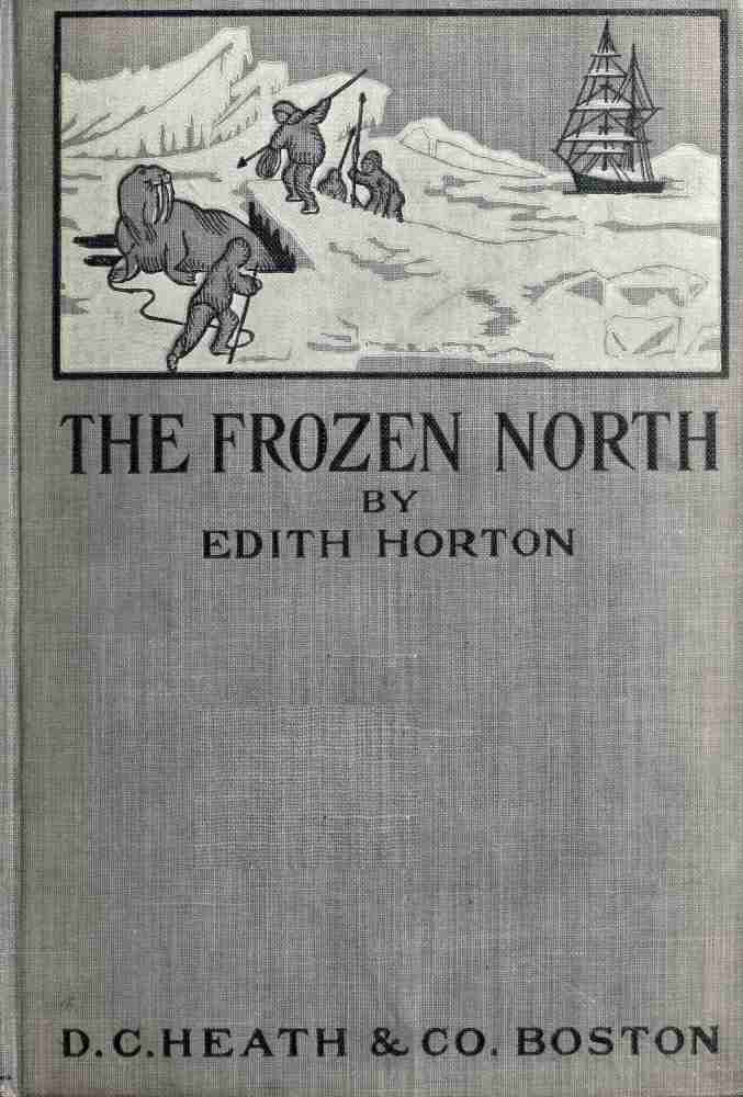
Franklin and his men soon fell in with an Eskimo tribe numbering about three hundred. These Eskimos proved themselves such thieves that it seemed likely that they might presently murder Franklin and his companions and take all they had. Lieutenant Back ordered the men in his boat to point their muskets at the Eskimos; whereupon they ran away and left the white men in peace.
The journey along the coast was made through blocks of ice, heavy fogs, and high winds, with a temperature often below freezing. Yet this was midsummer!
But the party kept bravely on their way, taking observations of the sun, watching the magnetic needle of the compass, studying tides, stones, plants, and animals. Among the greatest hardships that the men suffered were attacks from swarms of mosquitoes; they dreaded these more than cold or ice packs.
After three hundred and seventy-four miles of coast had been explored, Franklin decided that if he continued the journey, he would not have enough provisions. They had made half the distance between the mouth of the Mackenzie river and Icy cape. To the most western point visited, they gave the name Beechey point. On returning to Fort Franklin they found that the other party, led by Dr. Richardson, had also made a successful journey, having explored eight hundred and sixty-three miles of coast line between the mouth of the Mackenzie and the mouth of the Coppermine, and traveled nineteen hundred and eighty[1] geographical miles.
[1] Franklin’s own book gives 1989 miles. Greely’s Hand Book gives 1709 miles.
The success of these two explorations put the company in good spirits, and the following winter of 1826 was passed pleasantly at Fort Franklin. Franklin started for home in February, and reached England September 26, 1827, after an absence of two years and seven months.
Two months after his arrival he married Jane, daughter of John Griffin, Esq. This lady, Franklin’s second wife, was a very remarkable woman, of whom we shall hear more.
All England was delighted with the results of this second land journey. Franklin and Richardson together had surveyed 37° of longitude along the Arctic shore of North America. The coast from the mouth of the Coppermine westward to Beechey point had been proved to be open for navigation, while from Beechey point to Icy cape it was undoubtedly open.
To complete a northwest passage it was only needful to find a gap to the eastward, connecting this pathway for ships with the older discoveries on the Atlantic side. Over one thousand miles of American coast had been explored, maps and charts had been made, and knowledge in all branches of science had been increased.
The honor of knighthood was conferred upon Captain Franklin, who was afterward to be known as Sir John Franklin. Parry’s expedition in search of the northwest passage had been unsuccessful.