| Range of Hermon, near Banias |
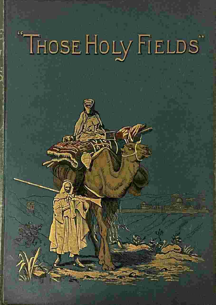
Frontispiece. |
| |
| Village of Siloam, and Valley of the Kedron |
Preface. |
| |
| |
| Southern Palestine, or Judæa. |
| |
| JAFFA TO HEBRON. |
| |
| Map of the District |
page 10 |
| |
| Head-Piece—Our Camp |
11 |
| |
| Initial—Eastern Water-Seller |
11 |
| |
| Jaffa, from the North |
12 |
| |
| Jaffa, from the Sea |
15 |
| |
| Ploughing in Palestine |
17 |
| |
| Ramleh |
18 |
| |
| German Colony near Jaffa |
19 |
| |
| Lydda |
21 |
| |
| Amwâs, or Nicopolis |
22 |
| |
| Women of the Hill Country of Judæa |
24 |
| |
| Wady es-Sumt and Kulônia |
25 |
| |
| Southern Wall of the Temple Area Showing the opening of “Robinson’s Arch” |
27 |
| |
| Tomb of Rachel |
29 |
| |
| Solomon’s Pools |
31 |
| |
| Ruins of Tekoa, on the way down to Hebron |
32 |
| |
| Distant View of Hebron |
33 |
| |
| Hebron, and Mosque over the Cave of Machpelah |
35 |
| |
| Pool of Hebron |
36 |
| |
| Entrance to the Mosque over Machpelah |
37 |
| |
| Roof of the Mosque |
38 |
| |
| Arrangement of Tombs in the Cave |
39 |
| |
| Abraham’s Oak, near Hebron |
40 |
| |
| |
| BETHLEHEM TO THE DEAD SEA. |
| |
| Head-Piece—Bethlehem |
41 |
| |
| Initial—The Dead Sea |
41 |
| |
| Gate of Bethlehem |
42 |
| |
| Women of Bethlehem |
43 |
| |
| Shepherd of Bethlehem |
44 |
| |
| Eastern Gleaners |
45 |
| |
| Entrance to the Cave of Adullam |
47 |
| |
| Interior of the Cave of Adullam |
48 |
| |
| Bethlehem, from the Shepherds’ Field |
49 |
| |
| Interior of a Khan |
50 |
| |
| Interior of the Church of the Nativity |
52 |
| |
| Church of the Nativity |
53 |
| |
| Convent of Mar Saba |
55 |
| |
| Wilderness of Judæa |
57 |
| |
| Northern Shore of the Dead Sea |
59 |
| |
| Southern Shore of the Dead Sea |
60 |
| |
| The Dead Sea |
61 |
| |
| Approach to Engedi |
63 |
| |
| Makaur, the site of ancient Machærus |
65 |
| |
| The Dead Sea, near Masada |
66 |
| |
| Map of the Dead Sea |
67 |
| |
| The Well of Bethlehem |
68 |
| |
| |
| JERICHO AND THE JORDAN TO JERUSALEM. |
| |
| Head-Piece—Arabs of the Plain |
69 |
| |
| Initial—Er Riha, near Jericho |
69 |
| |
| Plain of the Jordan, near Jericho |
70 |
| |
| Arabs in the Plain of Jericho |
71 |
| |
| Banks of the Jordan |
73 |
| |
| Sketch Plan of the Jordan |
74 |
| |
| Site of Ancient Jericho |
75 |
| |
| Elisha’s Fountain, near Jericho |
81 |
| |
| Bathing-Place of Pilgrims on the Jordan |
82 |
| |
| Ruined Aqueduct near Jericho |
83 |
| |
| Bethany |
85 |
| |
| Church on the Summit of the Mount of Olives |
87 |
| |
| St. Stephen’s Gate |
88 |
| |
| |
| JERUSALEM. |
| |
| Head-Piece—Church of the Holy Sepulchre |
89 |
| |
| Initial—Tomb of Absalom |
89 |
| |
| Plan of Jerusalem |
90 |
| |
| Ruins near the Church of the Holy Sepulchre |
92 |
| |
| Jerusalem from the Mount of Olives |
93 |
| |
| Walls of Jerusalem |
95 |
| |
| Street of Modern Jerusalem |
96 |
| |
| Sketch Plan of the Site of Jerusalem |
97 |
| |
| Entrance of the Church of the Holy Sepulchre |
98 |
| |
| The Pool of Hezekiah |
99 |
| |
| Plan of the Church of the Holy Sepulchre |
101 |
| |
| Interior of the Church of the Holy Sepulchre |
102 |
| |
| Chapel of the Holy Sepulchre |
103 |
| |
| The Place of Scourging |
104 |
| |
| Cave under the Church |
105 |
| |
| Via Dolorosa |
106 |
| |
| The Mosque of Omar |
109 |
| |
| The Golden Gate |
111 |
| |
| Projecting Stones of Robinson’s Arch |
112 |
| |
| Wailing-Place of the Jews |
113 |
| |
| Jewish Almshouses |
115 |
| |
| Pool of Bethesda |
116 |
| |
| Substructions under the Temple Area |
117 |
| |
| Temple Area and Mount of Olives |
118 |
| |
| Tunnel and Shaft of the Palestine Exploration Fund outside the Temple Wall |
120 |
| |
| Garden of Gethsemane |
121 |
| |
| Mount of Corruption |
124 |
| |
| Tomb of Zacharias |
125 |
| |
| Aceldama |
126 |
| |
| Tomb of Helena |
127 |
| |
| The Valley of Jehoshaphat |
128 |
| |
| |
| Central Palestine, or Samaria. |
| |
| JERUSALEM TO SHILOH. |
| |
| Map of the District |
130 |
| |
| Head-Piece |
131 |
| |
| Initial—Mosque of David |
131 |
| |
| Jerusalem, from Scopus |
132 |
| |
| Ramah |
133 |
| |
| Anathoth |
134 |
| |
| Ruins of Bethel |
137 |
| |
| Stone Circle near Bethel |
139 |
| |
| Ruined Synagogue at Shiloh |
141 |
| |
| The Site of Shiloh |
142 |
| |
| |
| SHECHEM, EBAL, AND GERIZIM. |
| |
| Head-Piece—Road-side Wells |
143 |
| |
| Initial—Arab at Tent Door |
143 |
| |
| Valley of Shechem, with Ebal and Gerizim |
144 |
| |
| Jacob’s Well and Joseph’s Tomb |
145 |
| |
| Nablus |
146 |
| |
| Evening on a Housetop |
148 |
| |
| Ruins on the Summit of Gerizim |
151 |
| |
| Cylinder enclosing the Samaritan Pentateuch |
154 |
| |
| Translation of Inscriptions |
154 |
| |
| Copy of a portion of the Samaritan Pentateuch |
155 |
| |
| In a Bazaar |
158 |
| |
| Gate at Nablus |
159 |
| |
| |
| NABLUS TO THE PLAIN OF ESDRAELON. |
| |
| Head-Piece |
160 |
| |
| Initial—Ruined Church of St. John in Samaria |
160 |
| |
| The Hill of Samaria |
162 |
| |
| An Arab Story-Teller |
164 |
| |
| Ruins of the City of Samaria |
165 |
| |
| Ruins of Cæsarea |
166 |
| |
| Jenin, the ancient En-gannim |
168 |
| |
| Head-Dress of Egyptian Fellaheen |
170 |
| |
| Plain of Esdraelon, with the Ruins of Jezreel |
171 |
| |
| Mouth of the River Kishon |
172 |
| |
| Sketch Plan of the Esdraelon Plain and surrounding district from El-Muhrakah |
174 |
| |
| Monastery on Mount Carmel |
176 |
| |
| Promontory of Carmel, from the Sea |
178 |
| |
| |
| Northern Palestine, or Galilee. |
| |
| SOUTHERN GALILEE AND NAZARETH. |
| |
| Map of the District |
180 |
| |
| Head-Piece—Village of Nazareth |
181 |
| |
| Initial—Fountain of Mary at Nazareth |
181 |
| |
| Tabor |
183 |
| |
| Nain |
185 |
| |
| Nazareth |
187 |
| |
| Cliff behind the Maronite Convent at Nazareth, the supposed “Rock of Precipitation” |
189 |
| |
| Church of the Annunciation, Nazareth |
191 |
| |
| Fountain at Cana |
194 |
| |
| |
| THE LAKE OF GENNESARETH. |
| |
| Head-Piece |
195 |
| |
| Initial—Town and Lake of Tiberias |
195 |
| |
| North Shore of the Lake, near Tell Hum |
196 |
| |
| The Town of Tiberias |
199 |
| |
| Magdala |
201 |
| |
| Southern End of the Sea of Galilee |
202 |
| |
| Hills over Gennesareth |
203 |
| |
| Ruins of Et-Tabigah |
206 |
| |
| Ruins of Tell Hum |
207 |
| |
| The Lake of Gennesareth from near Khan Minyeh |
208 |
| |
| |
| GENNESARETH TO THE SOURCE OF THE JORDAN. |
| |
| Head-Piece—Lake Hûleh |
209 |
| |
| Initial—An Arab Encampment |
209 |
| |
| Bridge of Jacob’s Daughters |
210 |
| |
| Rob Roy captured by the Arabs on the waters of the Lake Hûleh |
211 |
| |
| The Mouth of the Jordan, Lake Hûleh |
213 |
| |
| Lake Hûleh, or the Waters of Merom |
214 |
| |
| Hermon, from the Northern Shore of Lake Hûleh |
215 |
| |
| Hermon, from near Tell-el-Kadi |
216 |
| |
| The Source of the Jordan at Banias |
218 |